

In an era where technology is redefining national security and trade enforcement, the Nigeria Customs Service (NCS) is charting a bold course into the digital frontier. By deploying advanced geospatial technology, including satellite imagery, drones, and artificial intelligence-driven Geoportal tools, the Service is transforming how Nigeria monitors its borders, combats smuggling, and protects national revenue.

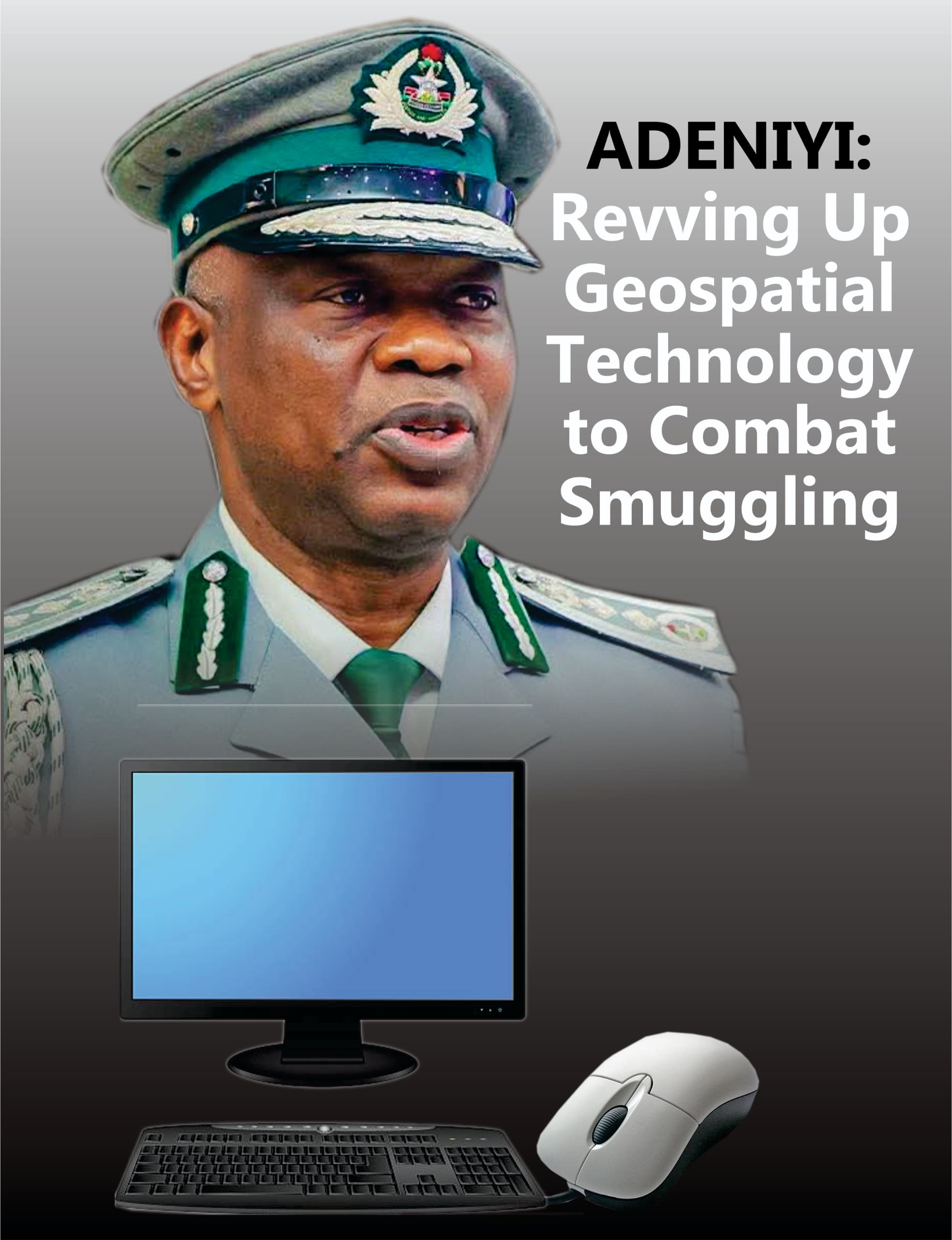
At the center of this modernisation drive is the Comptroller-General of Customs, Bashir Adewale Adeniyi, whose administration has prioritised intelligence-led enforcement and technological innovation as key pillars of Customs reforms. The integration of Geographic Information Systems (GIS), remote sensing, and predictive analytics marks a significant shift from traditional border monitoring methods to a highly automated, intelligence-driven surveillance ecosystem.
The adoption of these cutting-edge tools reflects Nigeria Customs’ commitment to strengthening border security while aligning with global best practices in customs administration.
Recently, the Service commenced a capacity-building programme on Artificial Intelligence (AI)-driven revenue generation, remittances and reconciliation as part of efforts to enhance transparency and efficiency in public financial management.
The training, held at the Ladi Kwali Hall of the Abuja Continental Hotel on Monday, 13 April 2026, brought together senior Customs officers, technology experts and representatives of legislative oversight committees.

The participation of lawmakers and Customs officials reflects growing collaboration between the Service and the National Assembly to strengthen accountability and adopt modern technological solutions in public administration.
Speaking at the event, the CGC said the Service remains committed to improving transparency in public accounting by adopting innovative technologies.
“We are united in our resolve to ensure transparency in public accounting. Technology continues to evolve and plays an important role in strengthening our operations. It has also helped us better understand patterns in international trade” he said.
He expressed optimism about the opportunities Artificial Intelligence offers to improve Customs operations, while noting that the Service operates within a broader national and international trade value chain.
“We want to reap the benefits of Artificial Intelligence collectively. I encourage participants to actively engage the facilitators, ask questions and take full advantage of the training,” he added.
Nigeria shares thousands of kilometers of land borders with neighboring countries, including vast stretches of terrain that are remote, porous, and difficult to monitor using conventional patrol methods. Historically, smugglers have exploited these unapproved routes to transport prohibited goods, evade duties, and undermine economic stability.
Recognising the limitations of manual surveillance, the Service has embraced geospatial technology to gain a strategic advantage. Using GIS-enabled platforms, Customs officers are now able to monitor remote border areas through digital mapping systems that provide detailed geographic data. These systems identify and track unapproved routes commonly used for smuggling activities.
Through advanced techniques such as buffer analysis and geo-fencing, officers can establish virtual boundaries around sensitive locations. When movement occurs within these digital zones, the system generates alerts, enabling real-time monitoring of physical border points without requiring constant physical presence. This approach significantly enhances surveillance coverage, allowing authorities to monitor multiple locations simultaneously while optimizing manpower deployment.
The integration of drones further strengthens this capability. Equipped with high-resolution cameras and sensors, drones provide aerial surveillance over difficult terrains such as forests, rivers, and mountainous regions. These devices capture real-time imagery that can be transmitted directly to command centers, enabling swift response to suspicious movements.
Satellite imagery complements these efforts by offering a broad overview of border landscapes. By analyzing satellite data over time, Customs officers can detect patterns, identify emerging smuggling routes, and assess terrain changes that could influence border security operations.
One of the most significant milestones in the Nigeria Customs modernisation agenda is the development and pilot implementation of the Geoportal platform, alongside the innovative n-Ceen system. Launched as a pilot operation in 2025, the Geoportal platform serves as a centralised digital hub that integrates geospatial data from multiple sources. This includes satellite feeds, drone footage, border patrol reports, and intelligence inputs from collaborating agencies.
Through this unified interface, Customs officers can monitor aircraft and vessel movements in real time, improving situational awareness across land, sea, and air borders. The n-Ceen platform enhances intelligence sharing by connecting operational units across various border commands. This ensures that information gathered in one region can be rapidly disseminated to other units, fostering coordinated responses to emerging threats.
The adoption of these platforms represents a paradigm shift from fragmented intelligence systems to an interconnected digital framework that promotes efficiency and accuracy. In operational terms, this technology allows Customs to predict potential smuggling attempts rather than merely reacting to them. By analyzing historical movement data and identifying anomalies, the system supports proactive enforcement strategies that reduce the likelihood of successful smuggling operations.
Technology alone cannot drive transformation without skilled personnel to manage and interpret data. Recognising this reality, the Nigeria Customs Service has placed strong emphasis on capacity building and workforce development. Training workshops have been organised across Customs formations to equip officers with specialised skills in spatial data analysis, remote sensing, and geospatial mapping.
During these sessions, officers learn how to interpret satellite imagery, operate drone systems, and utilize GIS tools to map landscapes and identify high-risk zones. These programs are designed to ensure that personnel at all operational levels, from field officers to command supervisors are proficient in using digital tools to enhance enforcement activities.
Capacity building also fosters a culture of innovation within the Service, encouraging officers to adopt data-driven decision-making processes. By investing in human capital, the Nigeria Customs Service is ensuring that technological adoption translates into measurable operational gains.
The transformation of Nigeria Customs into a technology-driven enforcement agency has been strengthened through strategic partnerships with international organizations. Notably, the Service collaborates with the World Customs Organization (WCO) and the Japan International Cooperation Agency (JICA) to develop advanced mapping systems and intelligence frameworks.
These partnerships provide technical expertise, funding support, and access to global best practices in customs operations. Through these collaborations, Nigeria Customs has been able to map smuggling hotspots across border regions and deploy predictive analytics tools that identify potential illegal trade patterns.
International cooperation also ensures interoperability between Nigeria’s customs systems and those of neighboring countries, promoting regional security and trade transparency. Such alliances position Nigeria as a leader in adopting innovative customs enforcement technologies within the West African region.
Perhaps the most transformative aspect of the geospatial initiative is its shift toward predictive enforcement. Traditional customs operations relied heavily on physical patrols and reactive responses to intelligence reports. However, the new system leverages artificial intelligence and data analytics to anticipate threats before they occur.
By analysing trends in border movements, seasonal patterns, and historical smuggling incidents, the system can identify high-risk periods and locations. This predictive capability enables Customs to deploy personnel strategically, focusing resources on areas with the highest likelihood of illicit activity.
The result is not only improved efficiency but also reduced operational costs, as fewer personnel are required to achieve broader surveillance coverage.Moreover, predictive analytics enhances revenue protection by minimizing duty evasion and ensuring that legitimate trade flows remain uninterrupted.
Smuggling remains a significant challenge to Nigeria’s economic stability. Illicit trade undermines domestic industries, reduces government revenue, and exposes consumers to substandard goods. By strengthening border surveillance through geospatial technology, the Nigeria Customs Service is addressing these risks at their source.
The improved ability to detect illegal routes and monitor suspicious movements directly supports revenue collection efforts. When goods enter the country through approved channels, duties are paid, boosting government income and supporting national development.Furthermore, enhanced border security protects local manufacturers from unfair competition caused by smuggled products.This, in turn, supports job creation and economic growth across various sectors.
Despite the promising results, the adoption of geospatial technology is not without challenges. Infrastructure limitations, including inconsistent internet connectivity in remote areas, can affect data transmission and system reliability.
Additionally, maintaining advanced technological systems requires sustained funding and technical expertise. Cybersecurity also remains a critical concern, as digital platforms handling sensitive data must be protected against unauthorized access and cyber threats.
However, ongoing investment in infrastructure, training, and partnerships is expected to address these challenges over time.
The integration of geospatial technology into Nigeria Customs operations represents more than just a technological upgrade. It signals a fundamental transformation in how border security is managed. By embracing digital tools and predictive intelligence, the Service is setting new standards for customs administration in Africa.
This modernisation effort aligns with Nigeria’s broader national security objectives and supports the government’s commitment to improving trade efficiency and economic resilience. As global trade becomes increasingly complex, the ability to monitor borders using advanced technologies will remain essential.
For Nigeria, the deployment of geospatial surveillance tools marks the beginning of a new era, one in which intelligence, innovation, and technology converge to safeguard national interests and strengthen the integrity of its borders.


One Comment